File:groundcad.jpg
From Lazarus wiki
Jump to navigationJump to searchThe printable version is no longer supported and may have rendering errors. Please update your browser bookmarks and please use the default browser print function instead.
Size of this preview: 800 × 577 pixels. Other resolutions: 320 × 231 pixels | 1,024 × 739 pixels.
Original file (1,024 × 739 pixels, file size: 96 KB, MIME type: image/jpeg)
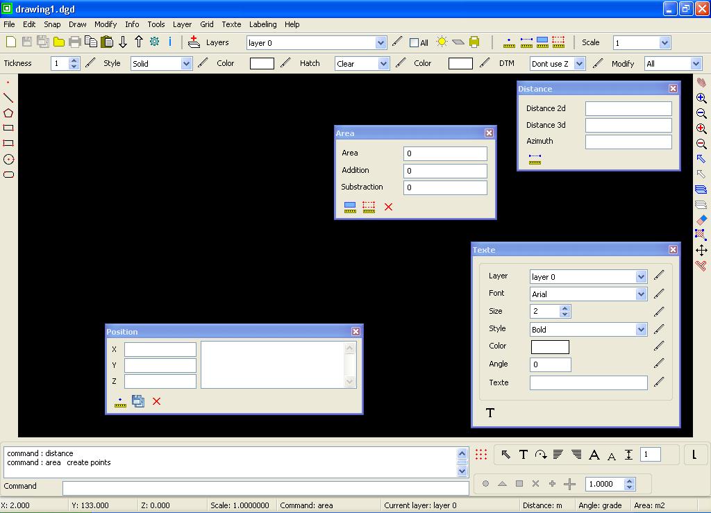
GroundCAD 0.1 is a new 2D CAD software for land surveying,civil,mapping ...
File history
Click on a date/time to view the file as it appeared at that time.
| Date/Time | Thumbnail | Dimensions | User | Comment | |
|---|---|---|---|---|---|
| current | 00:27, 28 July 2014 | | 1,024 × 739 (96 KB) | Naoum78 (talk | contribs) | GroundCAD 0.1 is a new 2D CAD software for land surveying,civil,mapping ... |
You cannot overwrite this file.
File usage
The following page uses this file: